Breathing in dirty air can increase the risk of respiratory infections, heart disease and lung cancer, and concern over these health risks has prompted many cities across the UK to introduce or plan low emission zones.
The Indices of Multiple Deprivation, published by the Department for Levelling Up, Housing and Communities, measures local deprivation levels by analysing various factors affecting communities, such as income, health, crime and pollution levels.
The pollution data, published in 2019, estimates the concentration of four pollutants – nitrogen dioxide, benzene, sulphur dioxide and particulates – all of which can cause ill health. The higher the score, the higher the levels of air pollution in the local area. The figures show wide geographical variations in how clean the air is around the country.
Holborn, St Giles and Bloomsbury South in Camden was found to have the worst air pollution levels in the country with a score of 1.90 – six times greater than the Isles of Scilly which had the lowest levels of air pollution at 0.32. The figures show how badly London is affected by air pollution, with the top 50 areas with the highest levels of air pollution all being found in the capital and the five worst affected areas concentrated in Camden and Westminster.
See more: Air pollution in Brighton and Hove: The 33 neighbourhoods with the worst air quality, including Preston Park, Portslade-by-Sea and Coldean & Moulsecoomb North, Air pollution in Mid Sussex: The 17 neighbourhoods with the worst air quality, including Burgess Hill West, Haywards Heath East and Hassocks, Keymer & East Hurstpierpoint, Air pollution in Rother: The 11 neighbourhoods with the worst air quality, including Bexhill Central, Rye & Winchelsea and Battle & Catsfield
How does your local area compare? Here we reveal the 18 areas in Reigate and Banstead with the highest levels of air pollution.
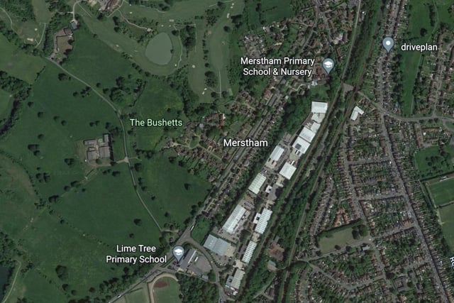
1. Merstham
The Merstham area had the first-worst air pollution in the Reigate and Banstead area, with a score of 1.10. Photo: Google Photo: Accredited
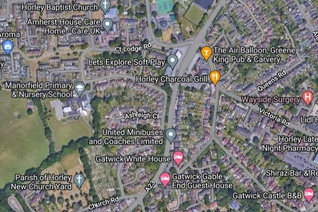
2. Horley Central
The Horley Central area had the second-worst air pollution in the Reigate and Banstead area, with a score of 1.09. Photo: Google Photo: Accredited
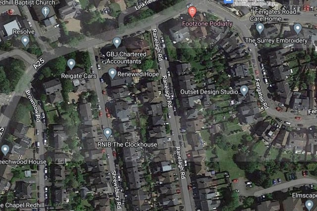
3. Redhill East
The Redhill East area had the joint third-worst air pollution in the Reigate and Banstead area, with a score of 0.99. Photo: Google Photo: Accredited
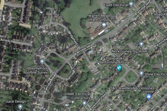
4. Nork
The Nork area had the joint third-worst air pollution in the Reigate and Banstead area, with a score of 0.99. Photo: Google Photo: Accredited